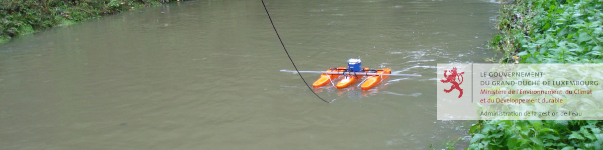
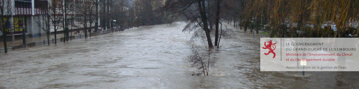
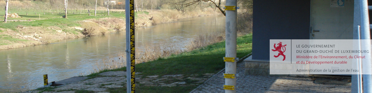


Water Courses
Moselle
All Stations
Moselle


 Syre
Syre
Alzette
Sauer
Meuse
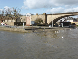
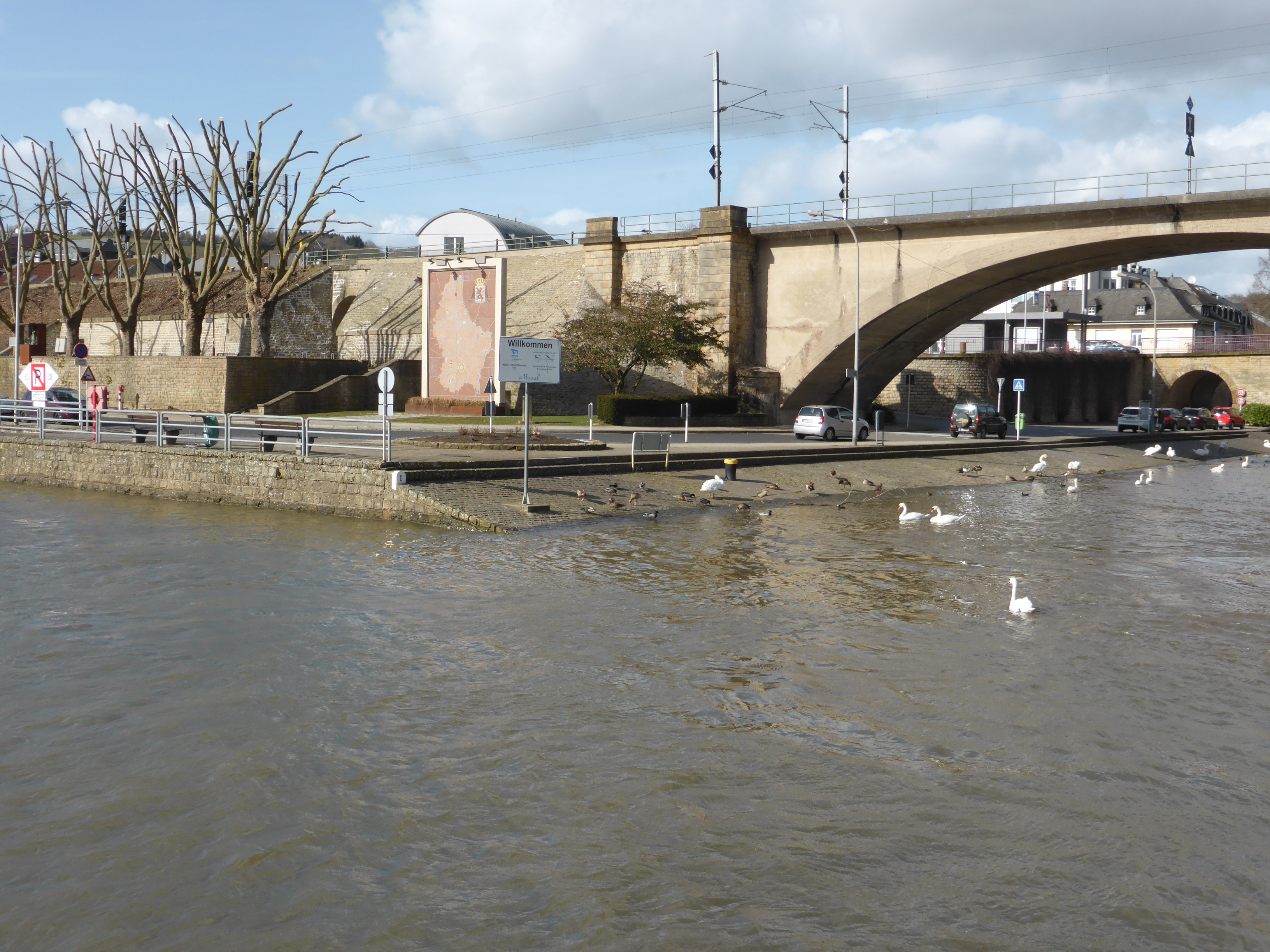
Station Details: Wasserbillig / Moselle
| Stations Details | |
|---|---|
| Name | Wasserbillig |
| Watercourse | Moselle |
| Basin [km²] | 12044.0 km² |
| Gauge Altitude | 128.25 m NN. |
| River Kilometre | 205.92 km |
| Coordinates (LUREF) | 104368 E | 86687 N |
| Answering Machine | (+352) 26714273 |
| Most Recent Measurements | |||
|---|---|---|---|
| Date | 13.05.2024 | ||
| Time | 21:30 | 21:45 | |
| Water Level | 216 cm | 217 cm | |
| Difference | 1 cm | ||
NOTE: Affected by dam (lock)!
The water levels are influenced by the upstream barrages (locks) on the Moselle and the inflow of the Sauer.
For technical reasons, a water level forecast is only possible above a water level of 220 cm and subject to uncertainties.
| Additional Station Data | |
|---|---|
| Operating Since | 01.01.2007 |
| Operational Status | Operating |
| Operator | Service de la navigation fluviale |
| Calculation of Predictions | Landesamt für Umwelt Rheinland-Pfalz |
| Additional Available Information | |
| Main Values | |||
|---|---|---|---|
| Discharge | Water Level | Date | |
| MHQ | 1230 m³/s | 500 cm | |
| Statistical Values | ||
|---|---|---|
| Discharge | Water Level | |
| HQ100 | 2550 m³/s | 778 cm |
| HQ50 | 2250 m³/s | 738 cm |
| HQ10 | 1670 m³/s | 653 cm |
| HQ5 | 1500 m³/s | 597 cm |
| Historic Water Levels | ||
|---|---|---|
| Date | Water Level | Discharge |
| 09.01.2011 | 527 cm | |
Daten ohne Gewähr - données sous toutes réserves
Station Operator
Prediction
Für offizielle Projekte die aktuellsten Daten bitte beim Service de la navigation (LU) anfordern - Pour les projets officiels les données les plus récentes peuvent être demandées auprès du Service de la navigation (LU)